See a bloom forming in your reservoir while it is still a patch.
A daily satellite pass over your source reservoir through bloom season. You get a bloom extent flag and a short trend note each day, as one more signal next to your lab sampling.
Between sampling rounds
Your reservoir gets watched on a schedule. Someone pulls grab samples at the intake and a few stations, the bottles go to the lab, and the cell counts or screening results come back after the water has moved on. In between, an operator checks for scum from the dam or the boat ramp, and now and then a resident calls about green water at the shoreline.
That holds until a bloom starts in a cove nobody sampled that week. Warm water and calm days let it thicken, then the wind turns and carries it down the reservoir. The first you hear of it is a bad sample result or a phone call. By then intake depth, a change at the plant and a possible public notice are all on your desk at once, and you are deciding with a picture of the water that is days old.
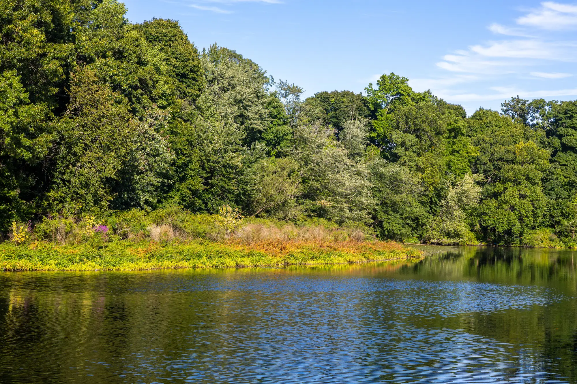
Lab sampling stays the measurement. Nothing here changes that. What has been missing is a look at the whole surface every day of the season, so a patch in a cove shows up while it is still a patch.
What arrives each day of bloom season
One flag and one note a day while the season runs, plus a record you can file.
2.1Daily flag
Bloom extent flag
Each day of the season, the part of your reservoir whose spectral signature reads as bloom, marked on a map of the water. You see where it started and how much surface it covers. It sits beside the day's sampling plan when you check the reservoir.
2.2Trend note
Trend note
A few lines saying whether the bloom reads as forming, spreading or receding since the last usable pass. It is for the operator who has to decide about the intake before the lab results are back.
2.3Season log
Season log
Every day's flag in one day-by-day record for the reservoir file. At the end of the season it goes into your monitoring report next to the lab results.
From your reservoir to a daily flag
Before bloom season
Mark the reservoir and the intake
Send the reservoir outline and the intake location. A boundary file works. If you only have the reservoir's name, we draw the outline with you.
Set the season
Tell us when your bloom season usually opens and closes. The daily run covers those weeks and no others.
Every day of the season
The pass is read
A wide-swath multispectral pass over the reservoir is checked for the spectral signature of bloom and compared with the passes before it.
Flag and note go out
You get the day's bloom extent flag and trend note. When the water is under cloud you get a note saying so, and the flag waits for the next clear pass.
In your day
The source water protection officer reads the flag with the sampling plan. The superintendent reads the trend note when deciding about intake depth or timing. Public-notice drafts still wait for the lab, and the flag log shows what the surface looked like on the day you made the call.
What the flag cannot do
Read these before you change how you run the intake.
It does not measure toxin
The flag shows where the water surface looks like a bloom. It gives no cyanotoxin concentration and does not say what the bloom is made of. The lab does that, and public health decisions stay with your lab results.
Clouds skip days
The imagery is optical. Under cloud there is no read, so a day can be skipped and a flag can lag a bloom that has already started. The note says which days were missed.
Small and narrow water is hard
At 10–30 m a pixel is 10 to 30 meters across. A reservoir arm, cove or inlet only a few pixels wide will not flag reliably, and a small pond will not flag at all.
Surface only
The satellite sees the top of the water. Cyanobacteria sitting below the surface will not show.
Daily in season, not live
We aim for a daily flag during the season you set. It is not a feed within the day and it does not run off season. We cannot say how much warning you will get before a bloom reaches the intake, and we do not promise any.
A screening signal
This is not a certified early-warning system. Treat it as one more signal beside your sampling, and never as the reason to skip a sample.
Who it's for
Built for
- Source water protection officers and watershed staff at a drinking-water utility with a surface-water reservoir.
- Treatment plant superintendents deciding intake depth and timing in bloom season.
- Utilities that already sample on a schedule and want a daily look between rounds.
Not for
- Utilities that need a cyanotoxin concentration or a lab-grade result.
- Utilities that want a certified alert to trigger a public notice by itself.
- Small ponds, narrow arms or coves only a few pixels wide.
- Year-round or within-the-day tracking.
Questions from plant and program staff
Does it replace our sampling?
No. Keep sampling on your own schedule. The flag is a daily look at the surface between rounds, and it can help you decide where and when to send a bottle.
Can we use it to issue a public notice?
Not by itself. A notice should rest on your lab results and your response plan. The flag and log record what the surface looked like on the days you decided.
How do we check it against our own results?
Lay the flags beside your cell counts, chlorophyll results and operator notes for the same days. If a day looks wrong, send it back and we will go through that day's pass with you.
What about cloud cover?
Optical imagery needs a clear view. A cloudy day can be skipped, and the note for that day says so. A flag can lag the actual onset of a bloom.
Will it work on our reservoir?
It depends on the size and shape of the water. Large open water is what 10–30 m suits. Narrow arms and small coves are not. Send the outline and we will tell you which parts will flag.
Does it plug into our GIS or plant log?
There is no direct integration. Flags come as files your GIS opens, and notes come as text you can paste into the daily log.
Who owns the maps and the log?
Your reservoir outline stays yours. What you can do with the flag files, and the license on the imagery behind them, goes into the agreement before the season starts.
How is it priced?
It depends on the reservoir and the length of your season, so we quote once we have seen the outline. There is no price list on this page.
Send us your reservoir before bloom season opens.
Send the outline, where the intake sits and when your season usually starts. We will scope the daily run from there.
Get started